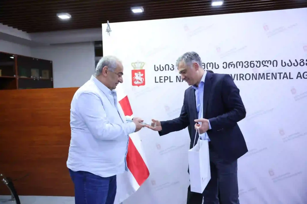
Georgia: The Head of the National Environment Agency of Georgia Vasil Gedvanishvili congratulated the specialists of the Geology Department on the Geologist’s Professional Day which falls on April 7, every year.
While wishing the geologists of Georgian on this special day, Vasil gedvanishvili expressed his heartfelt gratitude towards them for their contribution to the development of the field.
It is to be specifically mentioned that the Professional Day of Geologists in Georgia has been celebrated since 1965. Moreover, the first geological works in Georgia date back to 1841. At the same time field geological studies and the first works were published in 1843. The Geologist field has evolved ever since 1843 when the first work was recognized.
Notably, Geology is one of the important field areas in the National Environment Agency. For today, the specialists of the agency will carry out the monitoring of geological hazards (landslide, landslide, rocky quarry); also, in the conditions of extreme activation of natural hazards, prompt assessment of the area, identifying the causes of natural geological processes, preparing recommendations for protective measures to be carried out, compiling state geological maps And monitoring of underground drinking water.
Recently, to set up a network of monitoring systems on the territory of Georgia, modern equipment has been actively being installed in the districts. Also, across the country, the assessment of residential plots, residential houses, and infrastructural facilities is affected by geological hazards.
It should be noted that in 2024 1622 visual engineering-geological conclusions were compiled, based on letters received from citizens by the Department, evaluating the geodynamic condition of 4266 residential lands, residential and adjacent areas living in 2385 populated areas, and, for emergency measures, the relevant conclusions were developed Nations.
In addition to a collection of mineral resources and tectonic maps with pertinent geological reports that include information on geological conditions within the target area, 1,200,000 state geological maps were created last year based on geological surveys conducted around the nation.
142 chemical, 137 microbiological, 100 heavy metal, and 15 petroleum product samples were collected in 2024. Additionally, data gathering and control from the subterranean drinking water monitoring network’s automatic stations was in progress.


